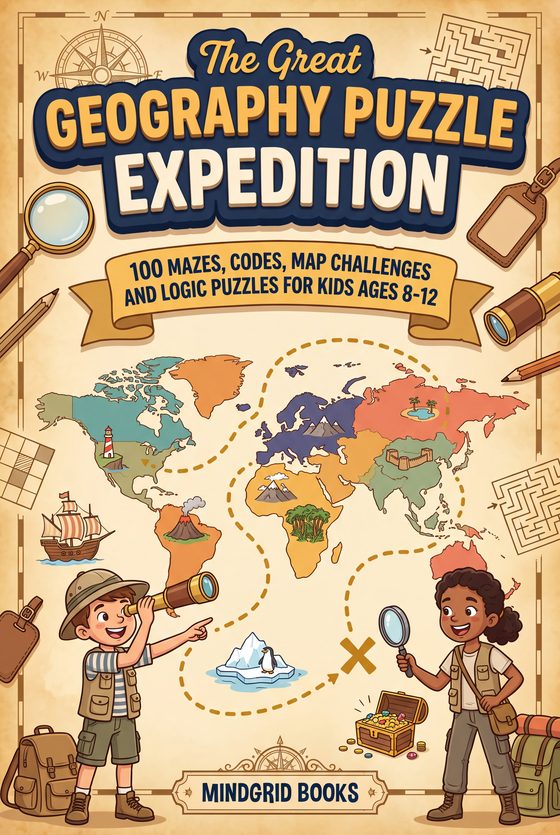
MindGrid Books makes five geography books for children of about 6 to 12. Flags of the World covers all 193 UN member countries; The 50 States of America, The 20 Regions of Italy and 50 Must-See Attractions in Israel each cover one country in depth. The Great Geography Puzzle Expedition is different: 100 puzzles to solve rather than pages to read. For ages 6 to 8, start with Italy or Israel; for 8 to 12, the 50 states atlas or the puzzle book. The flags book works as a reference at any age.
The four reference books share an approach rather than a subject. Whatever the scale, a place gets a page of its own or a two-page spread of its own: where it sits on a map, a short row of facts, and one thing worth repeating at dinner. Three of them draw what they describe; the Israel book photographs it instead. A child can open any of them anywhere and come away knowing something, which matters more for this age than reading front to back.
What differs is how far you zoom in. That is the easiest way to pick between them, so the sections below are ordered that way.
How do the five geography books compare?
They differ in how far they zoom in, who they are written for, and whether they test the reader:
| Book | What it covers | Written for | Quizzes |
|---|---|---|---|
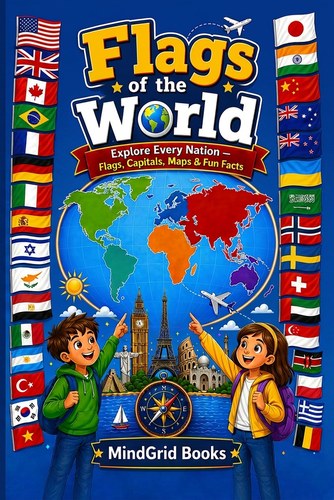
| Flags of the World | All 193 UN member countries, one page each; 201 pages | A reference for any age | — |
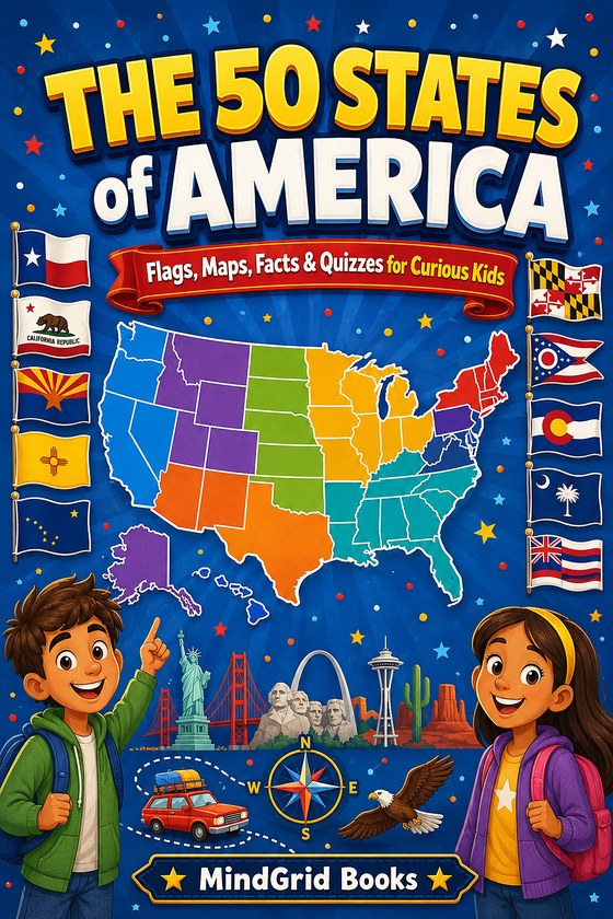
| The 50 States of America | Every state, plus D.C. and the five territories; 72 pages | Ages 8 to 12 | After each of 8 regions, with answer keys |
| The 20 Regions of Italy | Twenty regions on two-page spreads; 72 pages | Ages 6 to 12 | After each of 5 areas, with an answer key |
| 50 Must-See Attractions in Israel | Fifty real places, each photographed; 72 pages | Ages 6 to 12 | After each region, with an answer key |
| The Great Geography Puzzle Expedition | 100 puzzles in 113 countries, in ten stages; 184 pages, black and white | Ages 8 to 12 | The whole book is puzzles, each with a hint and explained answer |
Start with the whole world
The widest of the four, and the one to buy first if a child is curious about everywhere rather than somewhere.
Or learn one country properly
Three books that trade breadth for depth. Each covers a single country the way the flags book covers the planet — but with room for landmarks, quizzes and photographs.
The 50 States of America
Every state gets a page: flag, locator map, state shape, capital, nickname, statehood date, bird and flower, and three facts. Eight regions, each closing with a quiz, plus bonus pages for D.C. and the five territories. Ages 8–12.
Learn more →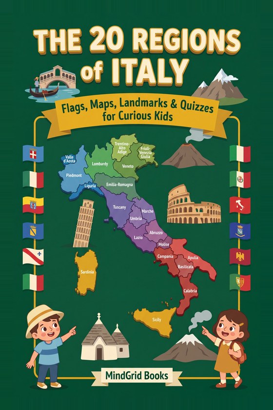
The 20 Regions of Italy
Twenty regions on two-page spreads: flag, map, region shape, capital, the food it is famous for, and 26 hand-drawn landmarks. Five areas with quizzes, and Italian words with how to say them. Ages 6–12.
Learn more →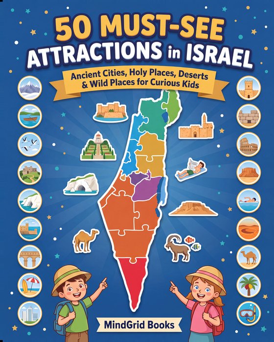
50 Must-See Attractions in Israel
Fifty real places with a real photograph of each, not an illustration. Seven regions from Mount Hermon to the reef at Eilat, ten of them UNESCO World Heritage sites. Ages 6–12.
Learn more →The 20 Regions of Italy and 50 Must-See Attractions in Israel share a structure: a country divided into areas, a quiz at the end of each, and a full answer key.
Or solve your way around the world
For a child who would rather work something out than read about it. This is a puzzle book, not an atlas: every puzzle is set in a real place, and the facts it needs are printed on the page. Try a few free geography brain teasers first to see whether the style suits.
Free Android game
Prefer a geography game?
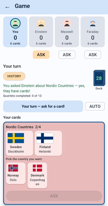
Country Quartet is a card game for Android phones. A child asks three computer opponents for the countries they need to complete regions of four, and every card shows a flag, capital, language and currency. It is free, works offline, and is designed for ages 7 to 14.
Choosing by age and reading level
Ages 6 to 8
Start with Italy or Israel. Both are written for 6 to 12, both are 72 pages, and both give a place a whole spread or page — short enough that finishing one feels like an achievement.
Ages 8 to 12
The 50 States of America is written for this range and adds quizzes with answer keys, which is the point at which a child starts testing themselves rather than being tested. For a child who likes a challenge, the geography puzzle book is written for the same ages.
A reference, not a read-through
Flags of the World is 201 pages and 193 countries. It is a book to dip into and keep, and it works across a wider age range than the others precisely because nobody reads it in order.
For homework and projects
The three atlases carry checked capitals and populations in one place, which is usually what a school project actually needs. The Israel book covers fifty specific places instead, and lists its sources at the back.
Getting more out of them
- The region quizzes work as a family game, not just a self-test — one person reads, everyone else guesses the state or region
- The locator maps make a book usable on a trip: find where you are, then read only that region
- Each of these five comes with a free companion bonus, such as an activity pack or, for the puzzle book, an extra stage of puzzles, sent by email when you sign up on its page
- For geography activities you can print today, without a book, see the free printables for kids: a world geography quiz, a flag matching worksheet and a 50 states map quiz, all with answer keys, or download the free world geography puzzle pack, a 12-page PDF of nine map activities
- Looking for facts and trivia about the United States rather than an atlas? 250 Amazing Facts About the 50 States covers the same country in a quiz-and-fact format for ages 8–12
Geography book questions
Which geography book suits a six-year-old?
The 20 Regions of Italy or 50 Must-See Attractions in Israel. Both are written for ages 6 to 12, both are 72 pages, and both give each place a page or a spread of its own, so a young reader can finish one entry at a time.
Do the books include quizzes and answer keys?
Four of the five do. The Great Geography Puzzle Expedition is made of puzzles, each with a hint and an explained answer. The 50 States of America ends each of its eight regions with a quiz, and the Italy and Israel books end each area or region with one, all with answer keys. Flags of the World is a reference book without quizzes.
Is Flags of the World the whole world?
It covers all 193 member countries of the United Nations, one page each, with the flag, a locator map, the capital, population, language and currency, color-coded by continent.
Are the facts checked?
The three atlases carry checked capitals and populations in one place, and the Israel book lists its sources at the back. For what to look for in any geography book, see how to choose geography books for kids.
Is there anything free to go with them?
Each book comes with a free companion bonus, sent by email when you sign up on its page. Without a book, the free printables include a world geography quiz, a flag matching worksheet and a 50 states map quiz.
All five are in print now. Pick a scale from the sections above, or browse the full catalogue on Amazon.