What's inside
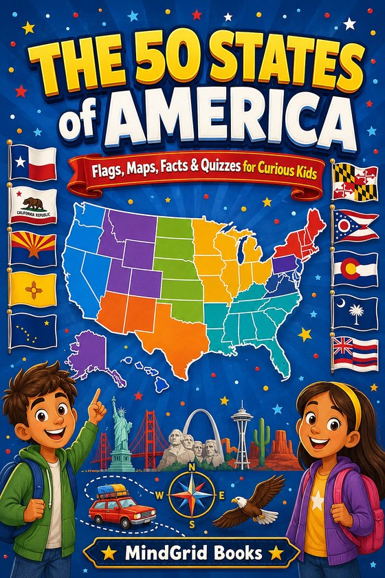
- All 50 states, each with a full-color page of its own
- Every state flag, printed large enough to actually study
- A locator map showing where the state sits, and the state's shape on its own
- Capital, nickname, population, size, statehood date, state bird and state flower
- Three facts per state worth telling somebody about
- Eight color-coded regions, each closing with a quiz and a full answer key
- Bonus pages for Washington D.C. and the five U.S. territories
One state's flag is the only one that is not a rectangle. One shows a bear that no longer lives there. One was designed by a thirteen-year-old boy who won a contest. Which states? Open the book and find out.
Perfect for
Curious kids
A page per state means a child can open it anywhere and come away knowing something new.
Homework and projects
Capitals, statehood dates, populations and state symbols, all checked and all in one place.
Road trips
Eight regions follow the map, so the book keeps pace with wherever you happen to be.
Ready to explore all fifty states? Get your copy on Amazon and let the road trip begin.
Free bonus: The Ultimate 50-States Quiz Challenge
A printable quiz night in six rounds — 86 questions, 100 points. Name that state flag, capital match-ups, mystery state shapes, nickname detective, a lightning round and a wild card, plus a score sheet and an answer key that explains every answer. Enter your email and we'll send the PDF straight to your inbox.
You're in — check your inbox 📬
We've sent the quiz pack straight to your inbox. (Don't see it? Check your spam or Promotions folder.) Or grab it right here:
You're already on the list ✅
No confirmation needed — we've re-sent the quiz pack to your inbox. (Don't see it? Check your spam or Promotions folder.) Or grab it right here:
We'll send the quiz pack plus a few short emails with the state facts kids react to most, and a note when the book goes on sale. Unsubscribe anytime with one click. We never share your email.