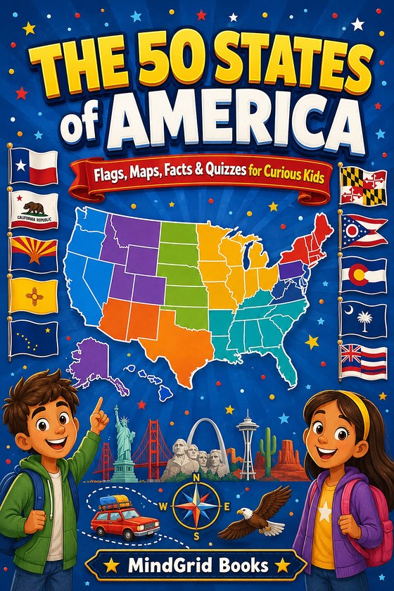
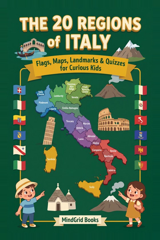
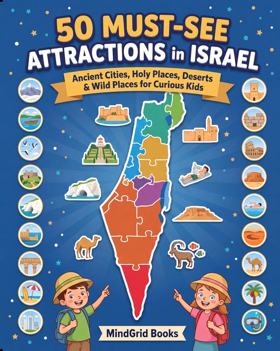
"Geography book for kids" covers at least four different things, and they are not interchangeable. Buying the wrong kind is the usual reason a promising present ends up unopened.
The four kinds, and what each is for
The atlas. Maps first, words second. Good for answering "where is that?" and for the sense that places have positions relative to each other. Weak on its own: a map gives a child no reason to care about the place it shows.
The flag book. Flags are the easiest possible entry point to world geography, because a flag is a small, bounded, visual thing a child can recognise instantly and feel expert about. Flags do a job no map does — they make countries feel individual rather than like shapes on a page.
The country or region guide. One place, covered properly. This is the kind that produces actual knowledge rather than recognition, and it is the kind most often skipped.
The fact book. Short items, no structure, designed for dipping. Excellent for the child who will not sit down with anything longer, and genuinely useful for building the sense that the world is interesting. Not a substitute for the other three.
Most children benefit from owning one of at least two kinds. A flag book plus a regional guide covers far more ground than two atlases.
What changes with age
Ages 4–6: recognition. At this stage geography is not really geography — it is pattern recognition with a story attached. A child of five can reliably learn to recognise a few dozen flags, and will enjoy doing it, without having any idea where the countries are. That is fine. It is a foothold, and it is genuinely theirs.
What to look for: big images, very little text per page, and nothing that requires reading a paragraph to get the point.
 Free bonus inside
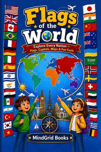
Flags of the World
Explore all 193 countries with full-color flags, capitals, maps, quick stats, and fun facts. Color-coded by continent. Free Flag Detective Activity Pack included.
Learn more →Ages 6–9: place plus one hook. Now a child can hold "where" and "what is interesting about it" together. This is the age where one strong fact per place does far more work than a well-written paragraph. Which country is that? What is the one thing worth telling someone about it?
The format that works best here is one page (or one spread) per subject — country, state, region, whatever the unit is — with a map, an image, and a small number of facts. The consistency matters more than the depth. A child who knows that every page works the same way will read twenty of them.
What to look for: a repeating page structure, a real image of the place, and facts that are specific rather than generic. "Italy is famous for food" teaches nothing. "Twenty regions, each with its own cooking, and they disagree about all of it" gives a child something to say.
Ages 9–12: systems and comparison. Here a child can handle relationships — why a country is where it is, why regions differ from each other, what a border follows. This is the age at which a book about one country or region beats a book about all of them, because there is finally enough space to explain anything.
What to look for: content that connects rather than lists. Regions compared with each other, geography that explains something, and enough structure that the child can find a place again after reading about it.
Photographs or illustrations?
Both work, for different reasons, and it is worth being deliberate.
Illustrations are better for schematic information — where things are, how big, what shape. An illustrated map is clearer than an aerial photograph almost every time.
Photographs are better for the thing illustrations cannot do: convincing a child that the place is real. A drawing of a desert fortress is a picture. A photograph of one is evidence. For a child who may one day stand in front of it, that difference is the whole point.
The books that work hardest tend to use both — a drawn map for orientation, a real photograph for the place itself.
How to tell whether a book has been checked
This is the part that is genuinely hard from a product page, and it matters more in geography than in most subjects, because facts about places go out of date and get copied between books without checking.
A few reliable signals:
- Sources at the back. Any book that lists where its facts came from has almost certainly checked them. Its absence is not proof of sloppiness, but its presence is decent proof of care.
- Specific numbers rather than round ones. "About a thousand caves" is someone remembering. A precise figure attributed to a named park or authority is someone looking it up.
- Recent population and capital data. Easy to spot-check on one or two pages before buying, and a good proxy for the rest.
- Photograph credits. A book using real photographs should say where they came from. Credits are a sign the publisher took the licensing seriously, which usually correlates with taking the facts seriously.
Making it stick after the book arrives
A geography book read once is entertainment. A few things convert it into knowledge, and none of them take long:
- Put a map on the wall. Not in the book — on the wall, where it is seen without being opened. Every place read about gets found on it.
- One unit a week. One country, one state, one region. Slower than a child can read, deliberately. The constraint is what makes it land.
- Let them test you. A child who gets to ask the questions and mark the answers is doing recall, which is the part that actually builds memory. It also reverses the usual direction of the exercise, which they enjoy enormously.
- Connect it to something real. A relative's holiday, a football team, a news story, a food. A place attached to something concrete gets remembered; a place on its own does not.
One book or several?
If you are buying one: pick the kind that matches how the child already behaves. A child who collects and sorts things wants flags. A child who asks "why" wants a single-region guide. A child who will not sit still wants a fact book.
If you are buying two, the strongest pairing is a broad book plus a deep one — something that covers the whole world lightly, and something that covers one place properly. The broad book gives them the map; the deep one shows them what it is like to actually know somewhere.