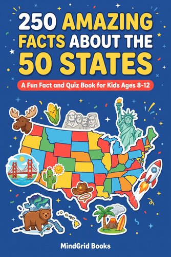
The 50 states are easier to understand when they are learned as neighborhoods instead of as one giant list. Regions give children a structure: New England is in the northeast corner, the South wraps around the Gulf and Atlantic, the Midwest fills the center, and the western states stretch toward the Rockies and Pacific.
There is no single regional system used for every purpose, so this guide uses a practical learning structure rather than pretending there is only one correct answer.
New England
- Maine
- New Hampshire
- Vermont
- Massachusetts
- Rhode Island
- Connecticut
New England is compact, which makes it a good first region. Maine is the northeastern anchor. Massachusetts and Connecticut help children orient the southern edge, while Vermont and New Hampshire form the inland pair.
Mid-Atlantic
- New York
- New Jersey
- Pennsylvania
- Delaware
- Maryland
These states form a useful bridge between New England and the South. New York and Pennsylvania are the large anchors; New Jersey, Delaware and Maryland are smaller and easier to place once the anchors are secure.
South
- Virginia
- West Virginia
- North Carolina
- South Carolina
- Georgia
- Florida
- Kentucky
- Tennessee
- Alabama
- Mississippi
- Arkansas
- Louisiana
- Oklahoma
- Texas
The South is large enough that some courses split it into subregions. For learning, it helps to start on the Atlantic coast and work westward. Florida and Texas are strong visual anchors, while Louisiana is memorable because of the Gulf Coast shape.
Midwest
- Ohio
- Indiana
- Illinois
- Michigan
- Wisconsin
- Minnesota
- Iowa
- Missouri
- North Dakota
- South Dakota
- Nebraska
- Kansas
The Great Lakes are the best anchor for the eastern Midwest. Michigan is especially useful because its shape is distinctive. Farther west, the Dakotas, Nebraska and Kansas form a north-south stack that is much easier to remember as a group than individually.
Mountain West
- Montana
- Idaho
- Wyoming
- Colorado
- New Mexico
- Arizona
- Utah
- Nevada
The Mountain West contains several large rectangular states, so relative position matters. Montana sits above Wyoming. Colorado sits above New Mexico. Utah is west of Colorado, and Nevada sits between Utah and California.
Pacific and non-contiguous states
- California
- Oregon
- Washington
- Alaska
- Hawaii
California, Oregon and Washington form the Pacific Coast from south to north. Alaska and Hawaii are not part of the contiguous United States, so they are usually shown as insets on maps.
Why regions make the 50 states easier to learn
A child trying to recall one name from a list of fifty has a large search space. A child who first recalls the region has reduced that problem to perhaps five to fourteen possibilities.
That matters for both map recognition and capitals. If Vermont is already stored as “New England,” Montpelier becomes attached to a smaller geographic group instead of floating as one isolated fact among fifty.
For the complete capital pairs, use the 50 States and Capitals List.
 Free bonus inside
The 50 States of America
A full-color atlas for kids ages 8-12. Every state gets its own page: flag, map, state shape, capital, nickname and three facts, plus eight region quizzes. Free 50-States Quiz Challenge available now.
Learn more →How to practice one region at a time
Start with a blank U.S. map and cover every region except the one being studied. Ask the child to label the states from memory, then compare the result with a reference map.
The next session should begin with recall, not rereading. Repeated retrieval is what turns recognition into durable knowledge.
Our 50 States Map Quiz works well after two or three regions are familiar.
A useful learning order
A practical sequence is:
- Home region first.
- New England or Pacific Coast next because both have strong visual anchors.
- Midwest using the Great Lakes.
- South using Florida and Texas.
- Mountain West last, because several states have similar rectangular shapes.
The exact order matters less than finishing one region before jumping randomly around the country.
Regions are a framework, not another fact to memorize
The point is not to make a child memorize one more classification system. The point is to give every state a neighborhood.
Once the regions are stable, add capitals, abbreviations and one memorable fact per state. 50 States Facts for Kids is designed for that next layer.